[Skip to Content]
Future Land Use Plan
What are your thoughts, comments, and recommendations for the draft Monroe County Urbanizing Area Future Land Use Map?
Views692
Interactions42
Closed
Share
Share
Find an Idea near you - OR - Have an idea for a specific location? Click that spot on the Map!
 
View by Topic:
close overlay button
Submit Your Idea to the Idea Map
Location:
Topic:
Idea Title:
Idea Description:
Future Land Use Plan
MAP
IMAGE

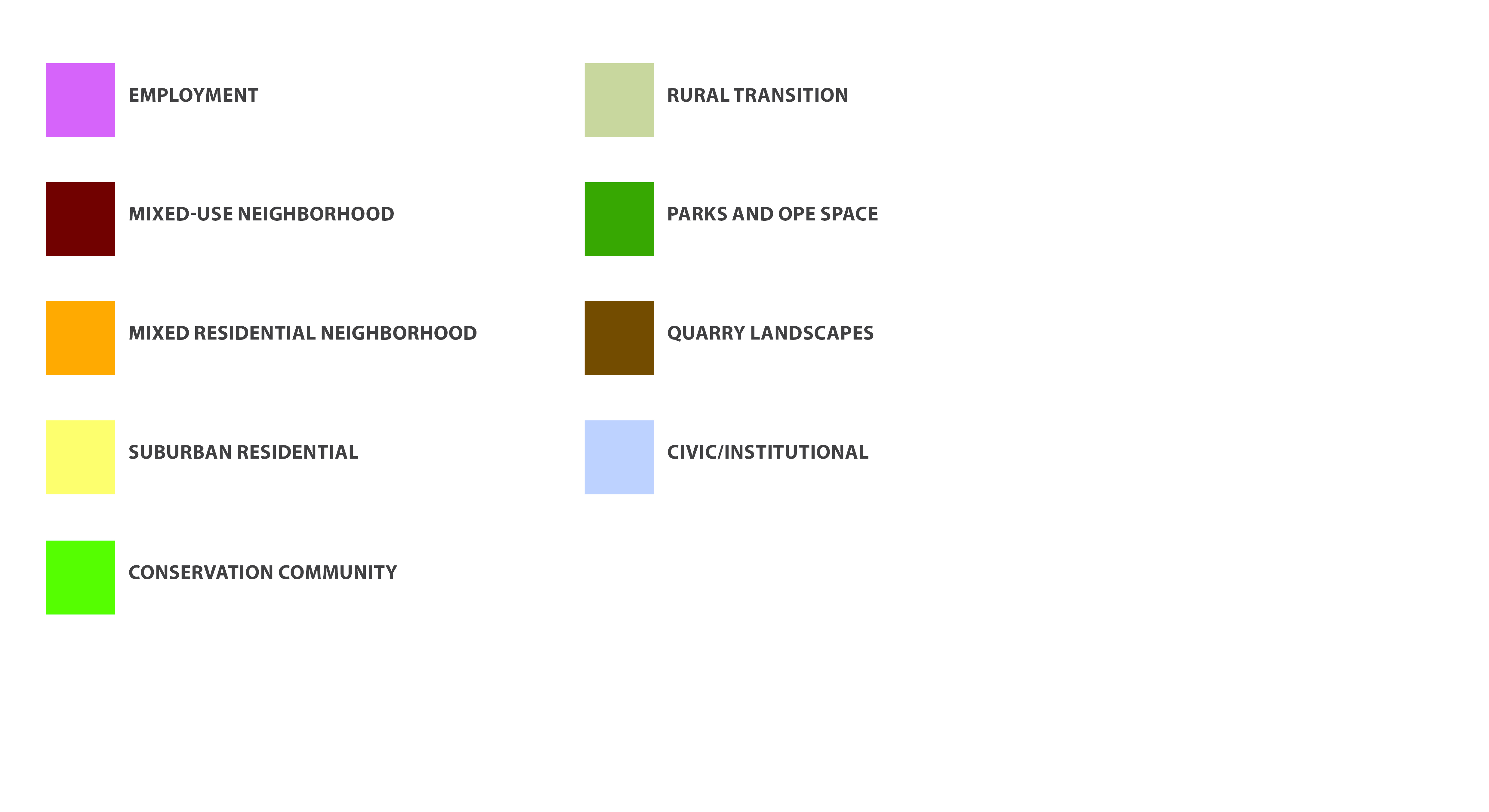
This is a draft of a new Future Land Use Plan for the Monroe County Urbanizing Area. A description of each type of land use is available in the attached document below. Do you agree with the proposed land uses? Please provide comments on your thoughts, opinions, and recommendations for the Plan.

To use the map, zoom or pan to a specific area on by using your cursor and mouse wheel, or the +/- icons on the map window. To view a legend of the land use categories, click 'Image' below the map window.

To read about how the draft plan was developed and to review alternative land use plan scenarios that were considered as part of the planning process, click the link below called "How was the draft land use plan developed?"

More Info:
Future Land Use Category Descriptions
How was the draft land use plan developed?

Idea Collaboration by  MindMixer